
Given the recent rains, thought I'd check out Bailey Canyon. Although the waterfall here is dry more often than not, it can be a cute little waterfall if the water is high. Also, if there's no water, there are several possible hikes on up the canyon, including the cabin foundation, Jones Saddle, Jones Peak, Hastings Peak, and even clear over into Little Santa Anita Canyon. But I was pretty sure my destination was just going to be the waterfall, then the cabin ruins.
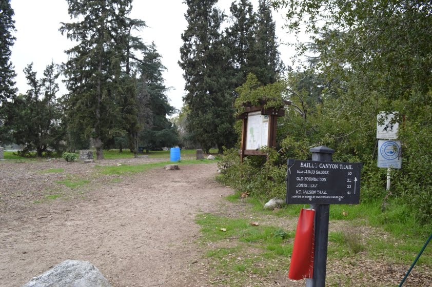

There's a flush toilet and several drinking fountains in the picnic area near the parking lot. There's also a map and trailhead just north of the restroom.
The sign there said it was 2.2 miles to the cabin foundation.

Shortly thereafter, a small bridge crosses what will probably be a dry streambed. A nature trail with interpretive signs is over that way.
I continued straight, which also is supposed to be a nature trail. There are a few metal poles with numbers, but no interpretive signs this way.

Today, there was very little water here, and it turned out most of that was coming from a side stream and was not coming over the falls.
After the 1/4 mile of criss-crossing the mostly dry stream bed and passing through, under, and over the riparian growth, I was at the wall where Bailey Canyon Falls would be. Today, it would qualify as a slow trickle or a fast drip.
The only time I came here with a significant flow was last March. On other visits, it has either been very slightly more than today, or nothing at all. Nothing at all is the default case, probably 9 months out of the year.

The climb is steep here, as is the way along most of the path to Jones Saddle. However, you're quickly rewarded with a view up Jones Canyon (the picture at the top of this post), and down towards the monastery. Street trees were looking a little colorful today.
The trail eventually makes its way to the south a bit, where it reaches a ridge, then returns back into the hills. At the ridge, there's a very short (10 yard) detour to a bench where you could sit and enjoy the view.

As you're walking along the ridge, you get several impressive views of canyon walls to either side of you. The San Gabriel Mountains rise steeply here.
More steep climbing, with a couple of places where a use trail is as well-defined as the actual trail. Then, the next level segment is when you're at "cabin level." The trail runs more or less flat as it heads towards a "V" where, if it's wet, water will spill down towards Bailey Canyon. I'm pretty sure this is where the water that enters Bailey Canyon from the side (not over the waterfall) comes from.

I walked over to where the cabin once stood, peeked over to see there was no water flowing behind it, then returned the way I came. Just under six miles for the day.
It's raining, now, so I guess no hike for me today. My next chance will be after work on the 31st, when I'll probably be getting off early and have several hours (assuming it is dry) to squeeze in hike 80 for the year.


No comments:
Post a Comment